GLOBAL INFORMATION SYSTEM (GIS) SERVICES
DIGITAL MAP PRODUCTS
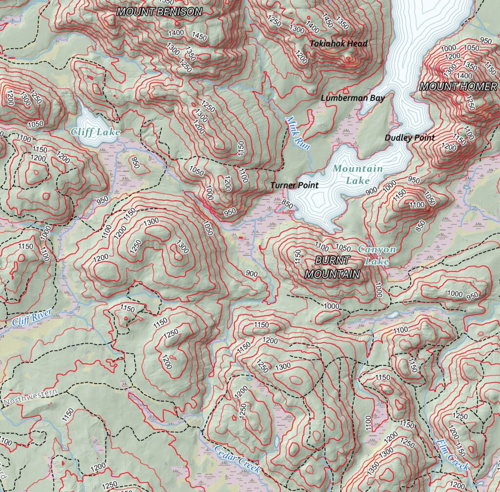
We offer digital maps in a variety of perspectives (plan, cross-section, or 3D) and formats: .pdfs,.tiff images, or time-lapse video sequences to track changes over time.
Our geospatial database is extensive, but additional features provided by the client in .shp, .dwg, .kml, or other formats can be easily incorporated
BEYOND DIGITAL
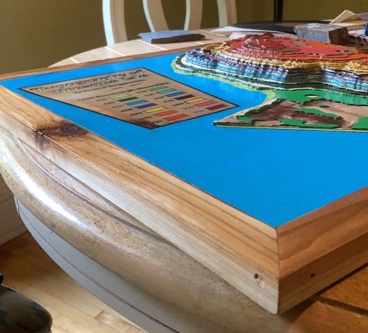
For those seeking a little extra, we are also excited to offer individual wooden maps cut with our Computer Numerical Control (CNC) end mill machine.
Maps can be painted or in finished wood, and size is limited to 4’x4’x 5″ height.
The lead time for these unique products is highly dependent on the complexity of the location, so please reach out with your site details!
ON-SITE MAPPING
Need on-site mapping work completed? False Peak has you covered there, too! Utilizing ArcGIS Field Maps paired with high quality GPS units, up to cm accuracy can be achieved.
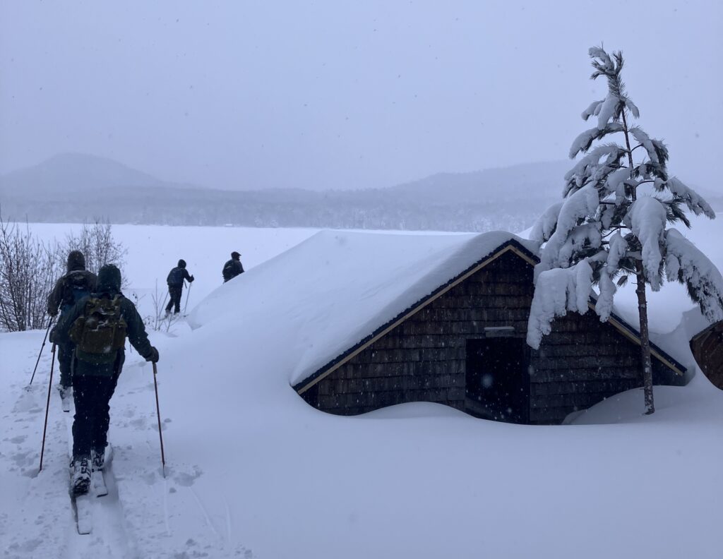
We have experience mapping in a variety of terrains and weather conditions, with particular expertise in snowy environments where snowmobile, snowshoe, or skis are required! Just tell us where we need to go, and we’ll bring the right equipment to get the job done.
HISTORICAL INVESTIGATION
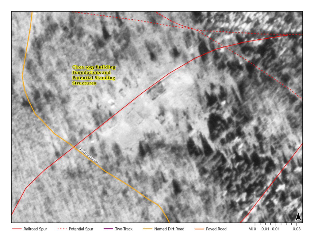
If you have questions about the history of a property, we can geo-reference resources like historical topography, aerial photographs, or satellite images to try to answer them
These historical investigations are also a great way to track environmental changes over time, and determine- property susceptibility to factors like cliff erosion, longshore drift along beaches, or river avulsion.
GEOSPATIAL ANALYSIS
Spatial Analysis is the foundation of what makes GIS so powerful.
From adding simple buffers to linear features to ensure that regulated offsets are being met, to building digital elevation surfaces to model runoff and plume migration, we have the tools to turn your questions into data-driven answers.
QUESTIONS? WE’D LOVE TO HEAR FROM YOU
Please reach out via phone or email and we can get down to business!
Email: falsepeakmaps@gmail.com Phone: 906-251-1713